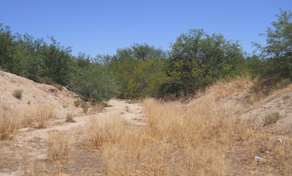
#HC012 band2.jpg image access Historic rework of Bandelier Canal.
Viewed east at N 32.94153 W 109.92109
A canal complex in the vicinity of US70 and Aravaipai Road
was first noted by Bandlelier. It appeared to source from a
one time artesian lake at N 32.93523 W 109.94133 and
routed to N 32.94532 W 109.91161. This image is of a
historically reworked variation that likely terminated
at N 32.94234 W 109.92203.The nearest dirt road is N 32.75700 W 109.71779
Click to expand the image.
Possible field notes here.